

Comments
No comments posted yet.
|
|
Trip Report |
|---|---|
|
|
43.74671°N / 110.85184°W |
|
|
Download GPX » View Route on Map |
|
|
Sep 8, 2022 |
|
|
Mountaineering |
|
|
Summer |
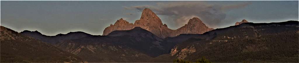
The 11106 ft Table Mountain rises directly to the west of Wyoming’s Grand Teton providing the hiker with some of the best views of the Teton Range. Access to the summit is generally provided from the west via Teton Canyon Trailhead by one of two trails: a steep 4.5-mile ridgetop trail or a more scenic 6.8-mile trail going up North Fork of Teton Canyon. We did a lollipop loop up the ridgetop and down the canyon.
Trailhead Elevation: 6970 ft
Summit Elevation: 11106 ft
Loop Hiking Distance: 11.33 miles
Total Ascent including minimal ups and downs: 4500 ft per my GPS (4300 ft per Caltopo site)
Thursday September 8, 2022
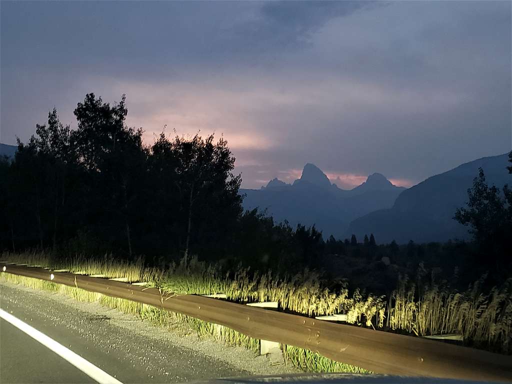
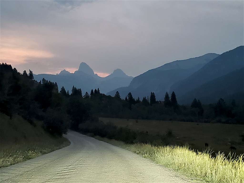
A bad cold had ruined my hiking vacation (tested negative for COVID twice). I was determined to at least make it to the top of Table Mountain. Left the vacation rental house in Driggs, Idaho when it had begun to light up. East of the town of Alta, Wyoming, the Tetons came to view. Table Mountain could be seen as a flat-top shadow in Front of Grand Teton.
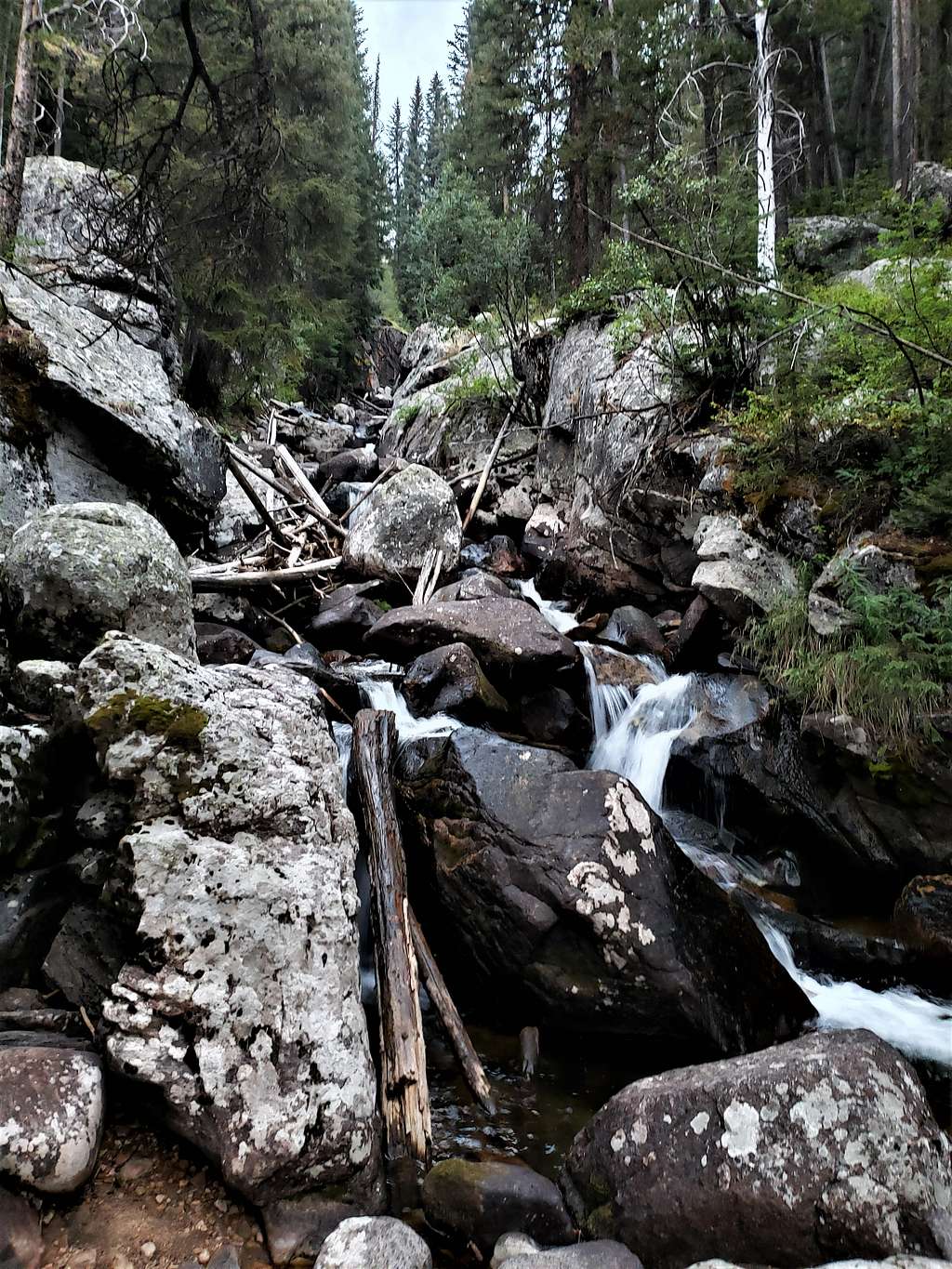
Jeff was waiting for me at Teton Canyon Trailhead. Started our hike at 6:55 AM. The plan was to go up the steep ridgetop trail. I had entered the path into my GPS but trusted that Jeff knew where the trail was, so I did not bother to look at my GPS. He mistakenly led us up a beaten path parallel to a stream.
It soon became apparent that were going the wrong way. Went back to trailhead and followed the road a little more to the end of it where the trail began next to a pit toilet. It was steep, gaining 2000 vertical feet in the first 1.8 miles. Jeff called it the Hans and Franz Trail because it really pumped us up. Sneezing and blowing my nose frequently made it even harder.
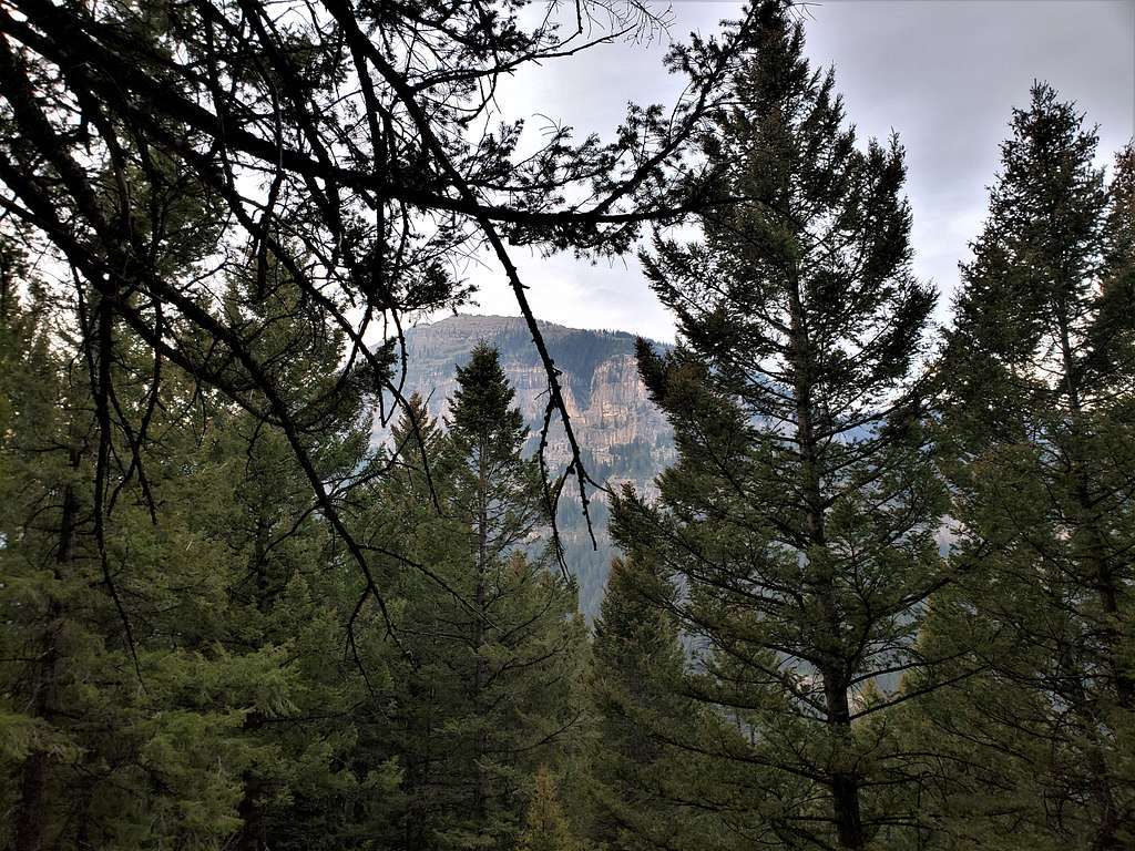
It became less steep at 9000 ft elevation. View of Mounts Bannon, Jedediah Smith and Meek.
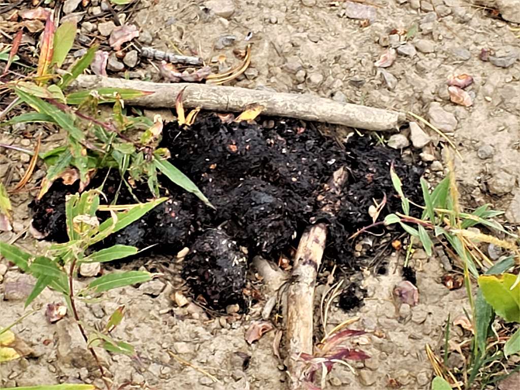
Bear scat, the idea was to avoid becoming that.
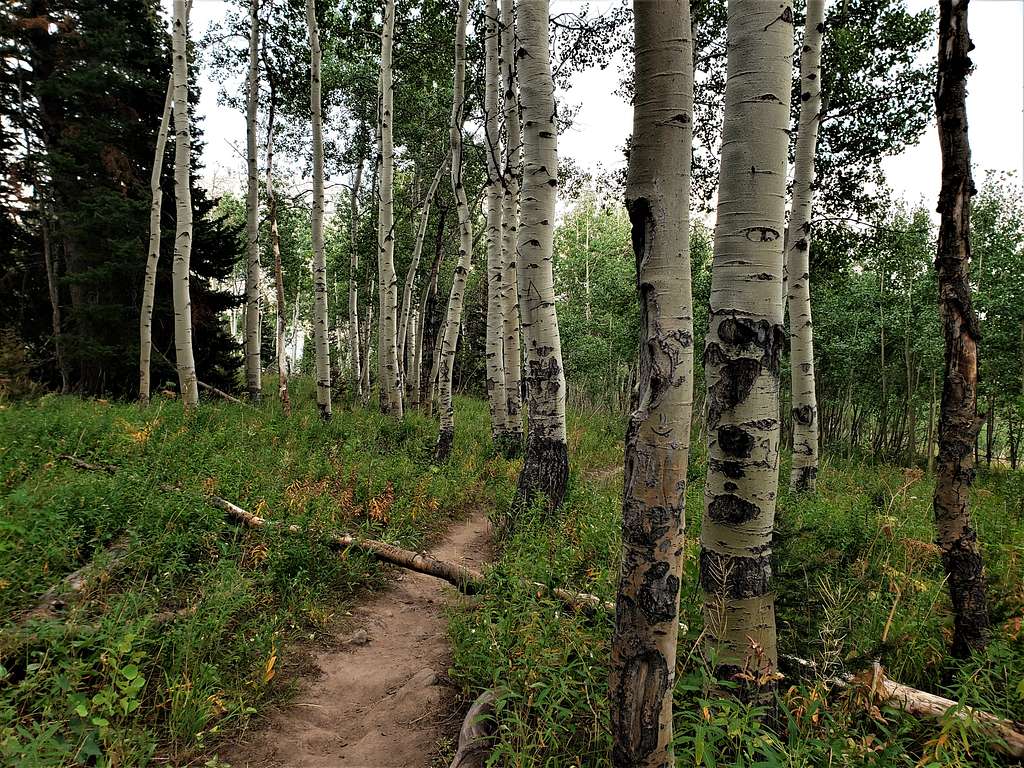
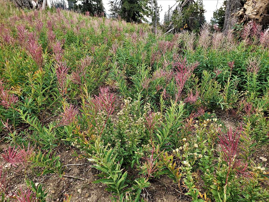
Forest thinning out.
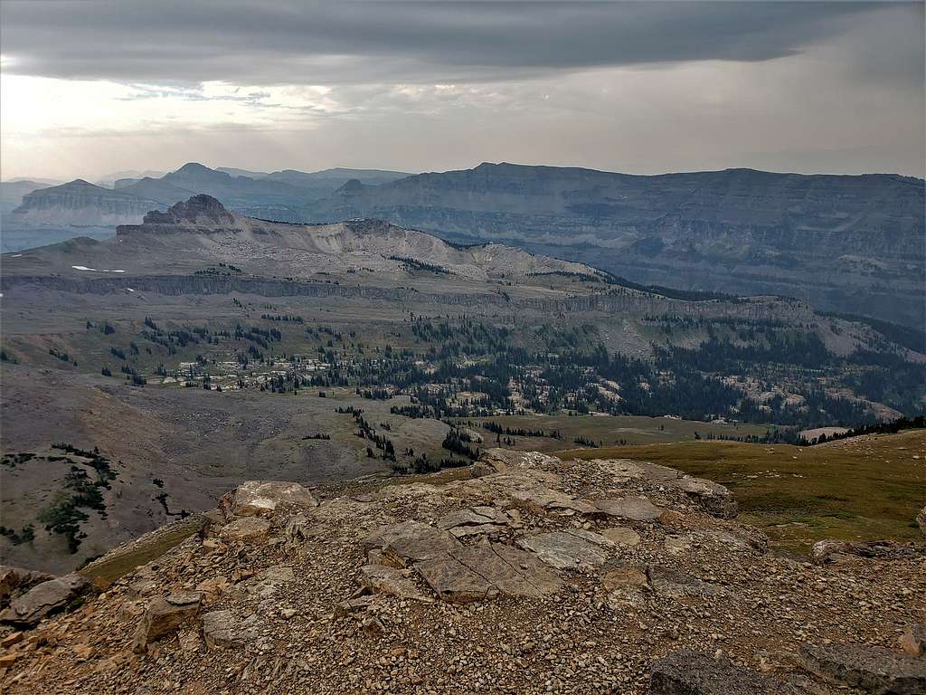
Marys Nipple and Peaked Peak.
Mounts Bannon, Jedediah Smith and Meek.
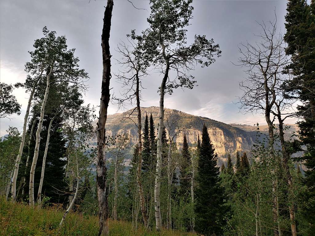
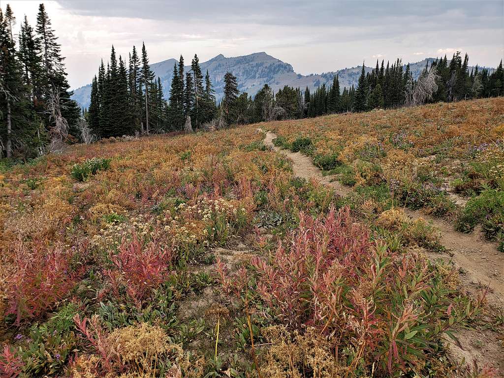
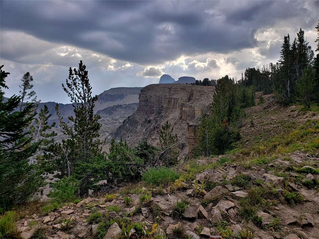
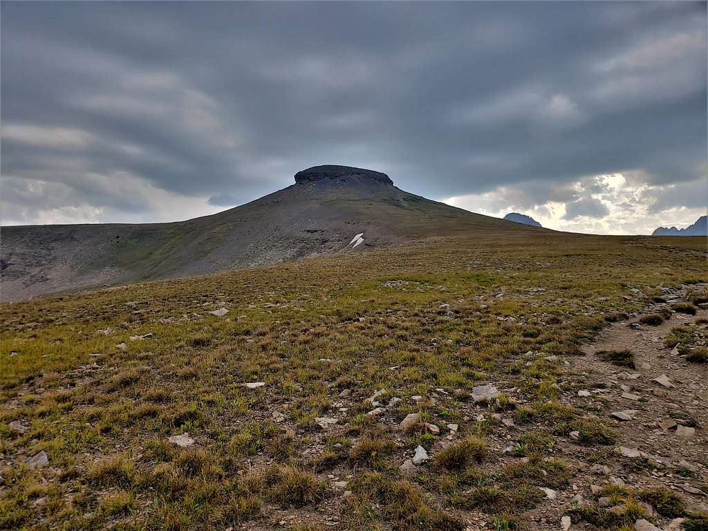
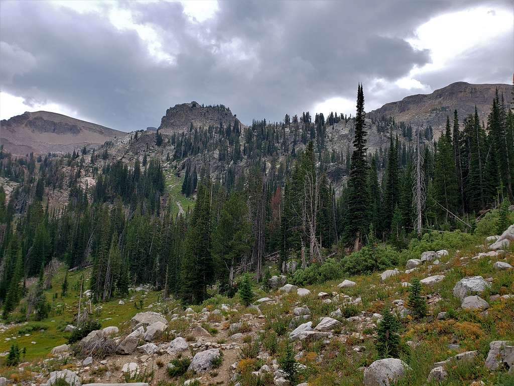
First view of the flat-top summit of Table Mountain with the Tetons in the back.
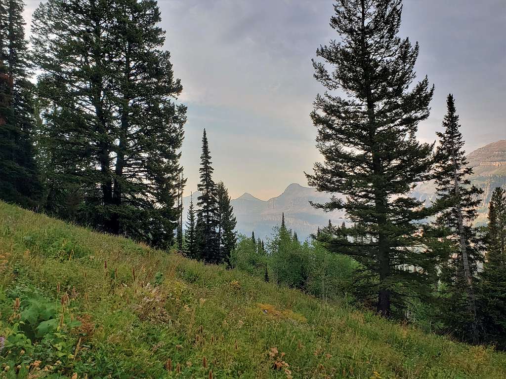
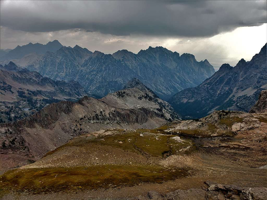
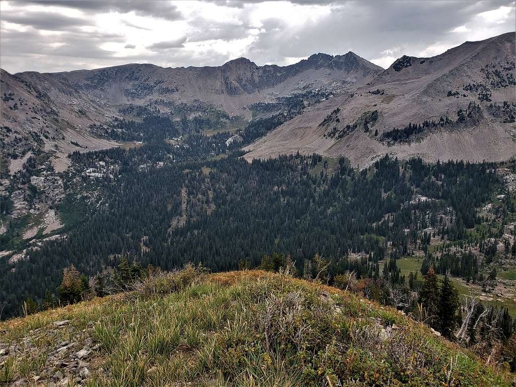
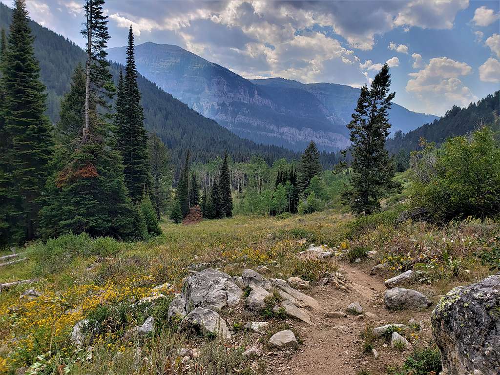
At 3.1 miles and 9910 ft elevation, reached the junction with the trail that came up the North Fork of Teton Creek. More views of Table Mountain, the Tetons and Mt. Moran.
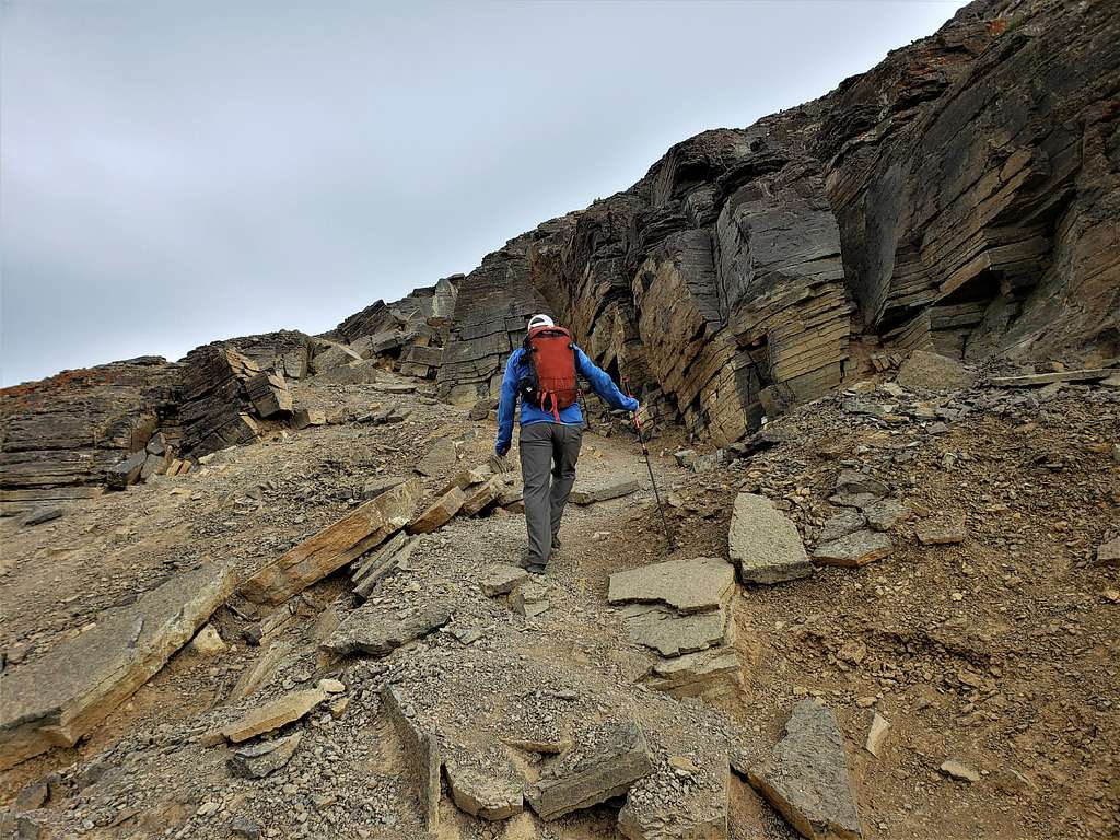
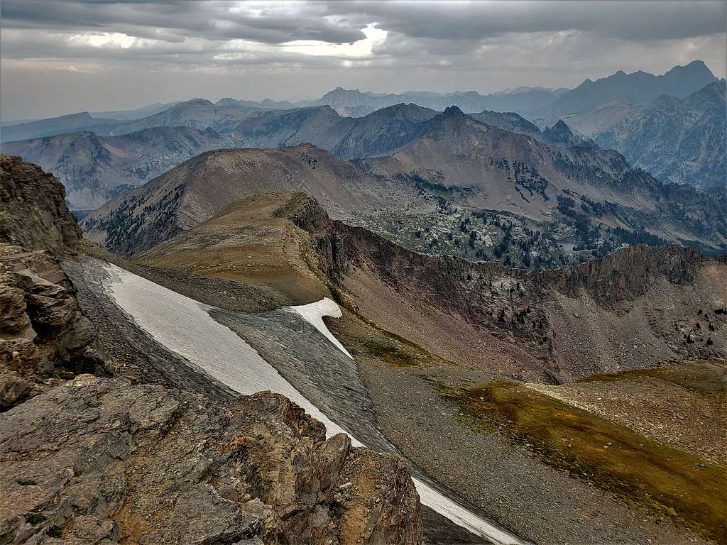
Near the summit.
A short rocky section just below the summit.
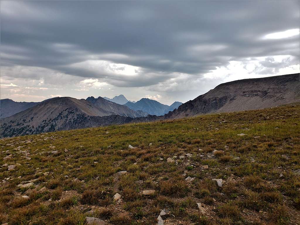
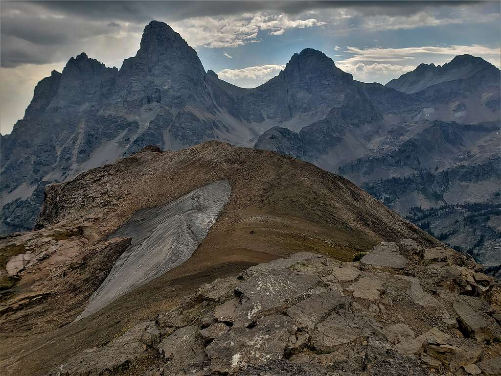
Reached the summit at 10:37 AM and 4.5 miles. A couple where there. A cold wind was blowing making me feel miserable, but the views were jaw dropping. Grand, Middle and South Tetons.
Buck Mountain and South Teton.
Battleship Mountain, Mt. Bannon, Mt. Meek.
Mount Moran.
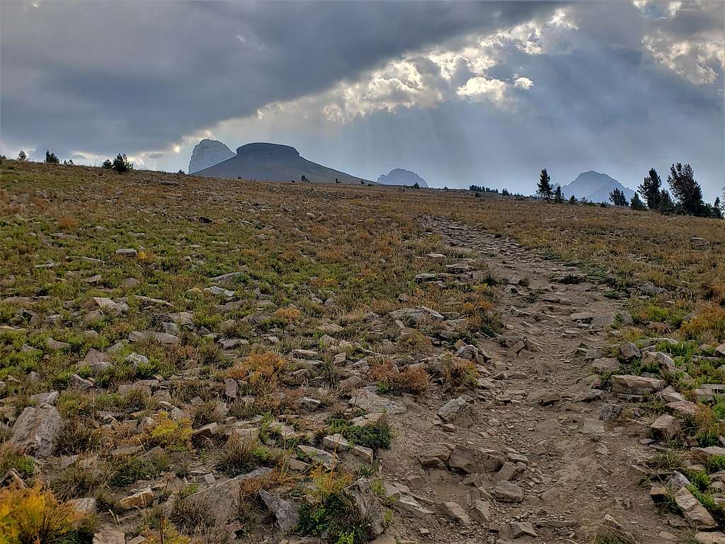
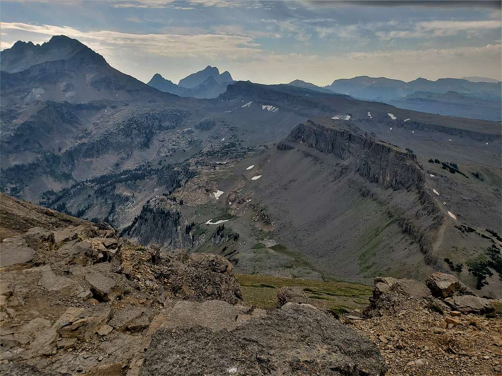
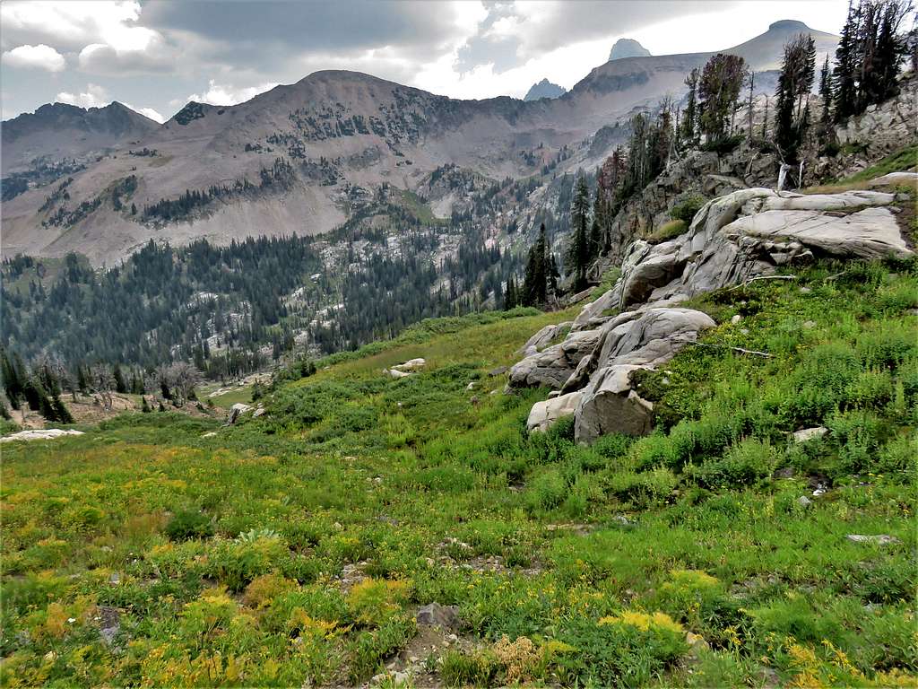
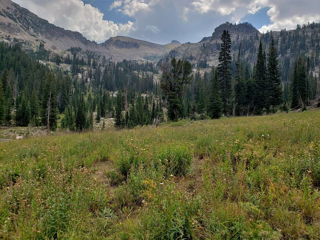
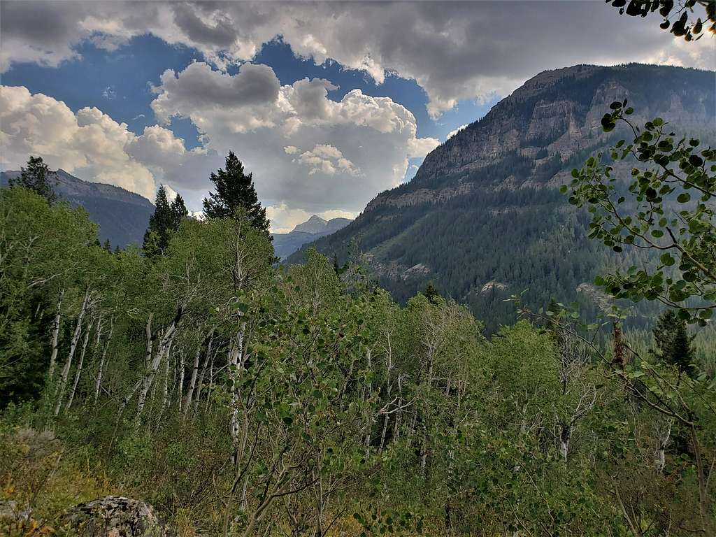
It began to rain so we left quickly. Going down the trail, ran into a few people going up. Fortunately, the rain and wind soon stopped. At 11:42 AM and 5.83 miles, we reached the junction with the trail going down into the North Fork of Teton Canyon. Decided to go that way for variety. Looking back at the summit of Table Mountain and the Tetons.
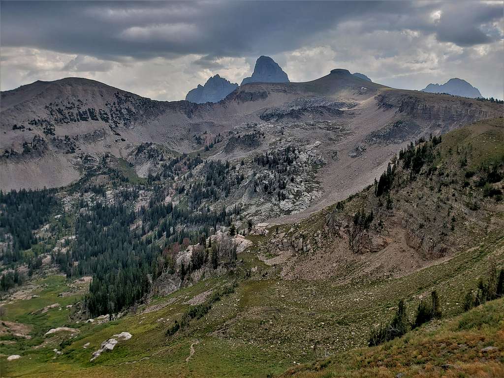
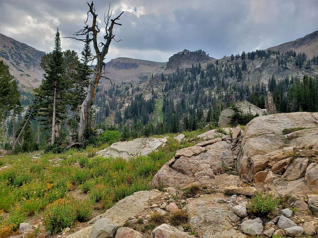
The Wigwams.
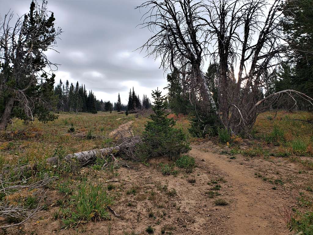
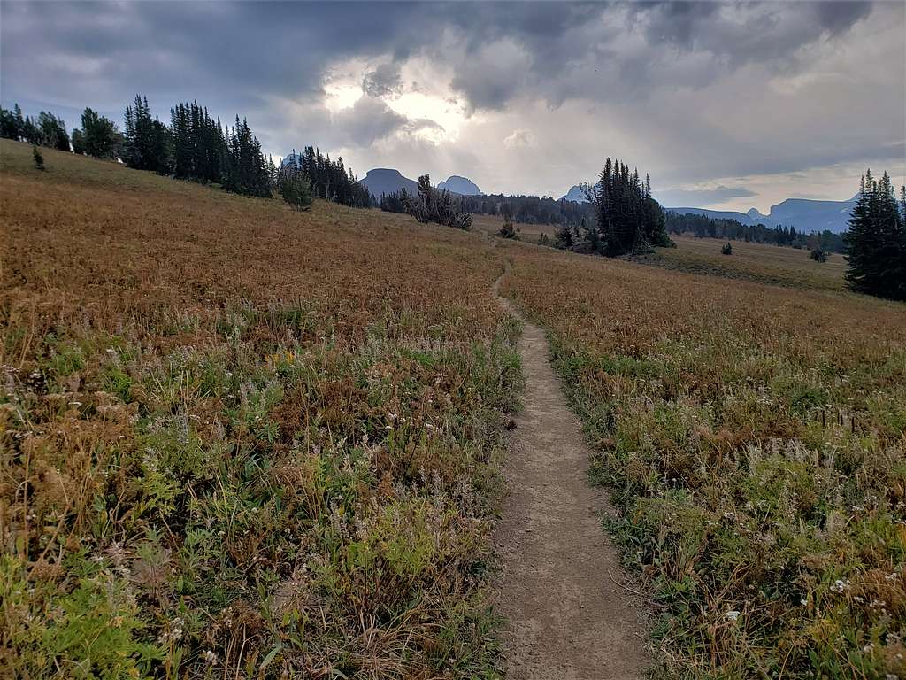
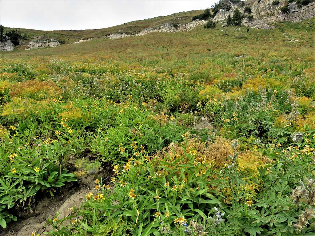
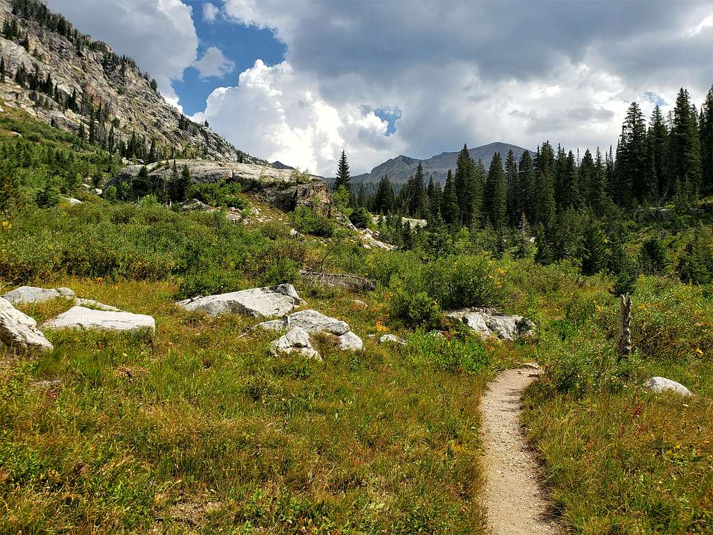
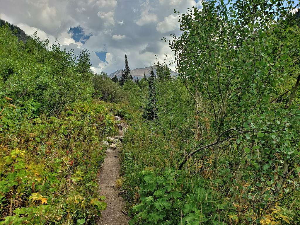
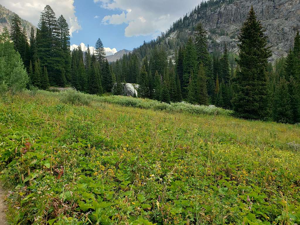
The trail went down making a number of switchbacks on beautiful grassy slopes.
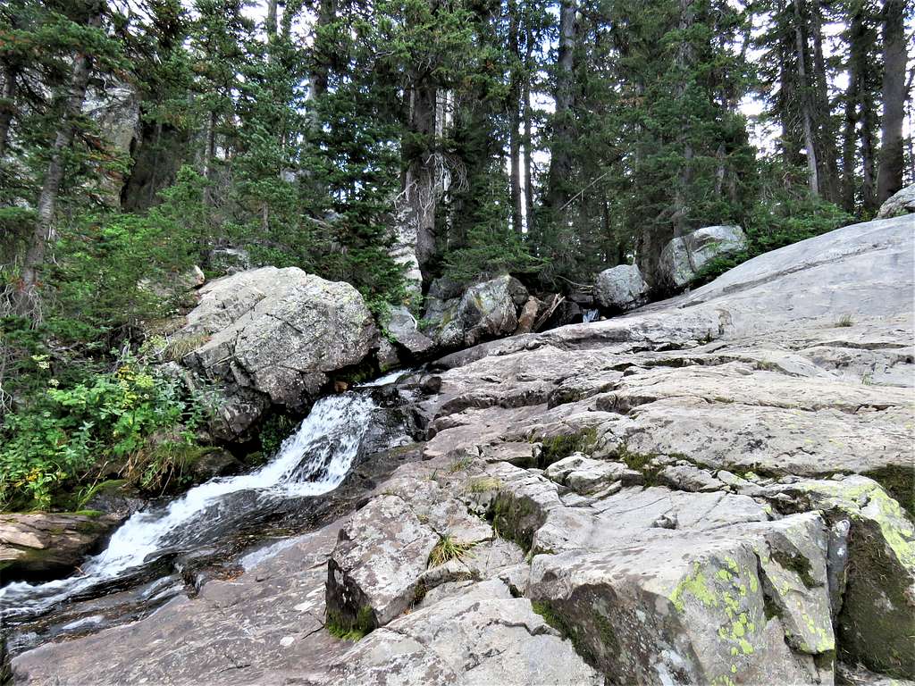
Continuing down the canyon, we sat by the stream and had lunch.
Reached trailhead at 2:47 PM.
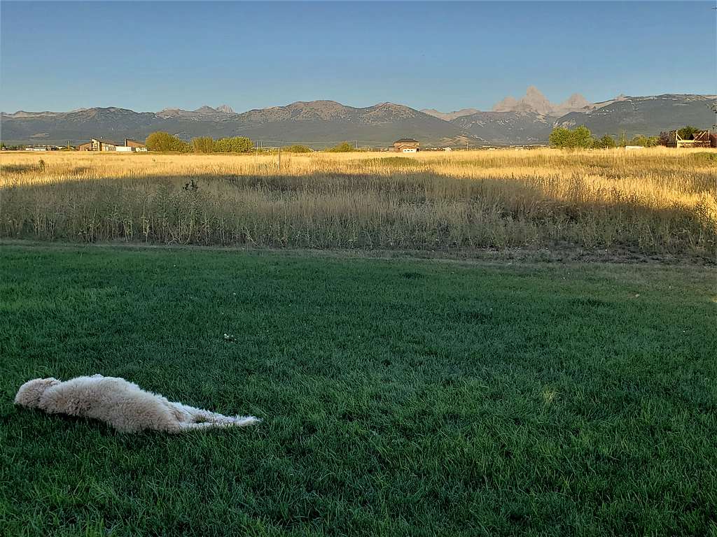
Back to the home, view of the Tetons, Tip of Mt. Moran and the neighbor’s dog from the front yard.