
|
|
Mountain/Rock |
|---|---|
|
|
40.54736°N / 112.7135°W |
|
|
Tooele |
|
|
Hiking |
|
|
Spring, Summer, Fall, Winter |
|
|
6048 ft / 1843 m |
|
|
Overview
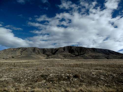
Salt Mountain
Once on top you can see that there are actually two high points. The southern one is definitely higher. The southern one is where the benchmark is found. The Northern "peak" is about 1/4 of a mile away connected by a very wide ridge-line.
Nearby Things to Check Out
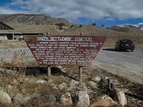
Ioespa Cemetery
Horseshoe springs
Story Rock Petroglyphs
Getting There
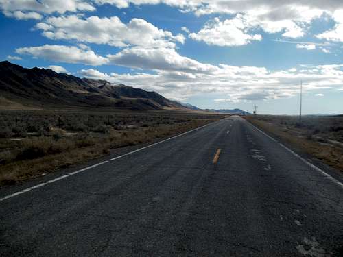
Highway 196 with Salt Mountain in the distance
Directions to the Iosepa Cemetery from SLC, UT
Head West on I-80 for roughly 40 miles. Take exit 77 (Rowley / Dugway) and head south on Highway 196 (Skull Valley Road) towards the Dugway Proving Grounds. After ~14 miles you'll see a large sign with a palm tree that states "Aloha Iosepa" Take this well maintained gravel road (on the east side of the hwy). Take an immediate right hand turn following the sign to "Iosepa Cemetery." Park at the Cemetery. Make sure to take a few minutes to check out one of the most interesting cemeteries you'll find in the western US before you embark on your hike to the top of Salt Mountain.Routes
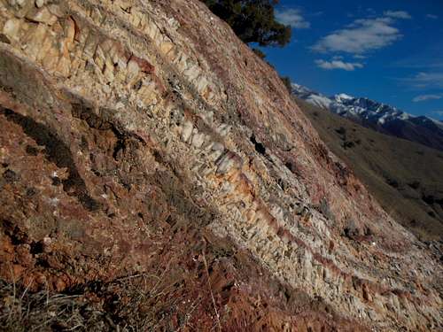
Interesting Rock formations on the ridge
Other options
Although hiking from Iosepa seemed the closest most direct route from an easy parking area there are lots of other option to get to the top of Salt Mountain. There are a few dirt 4x4 roads that lead around to the east slopes that could probably get you up to a little higher starting point.
Red Tape / When to Climb / Camping
Red Tape
Located on public lands. Be respectful of the environment.When to climb
Because of it's relatively lower elevation it is best to hike in the cooler months of the year.
Camping
There are many options to camp nearby as much of the land in skull valley is BLM land.
Register & NGS Benchmark
I brought a small canister and placed a notebook inside to be used as a register. The high point didn't have a good place to put the register so I stacked up a few rocks. There is a NGS Benchmarker at the top of this peak. It was placed in 1955 and has the word 'SALT" stamped into it. It has a very unusual placement. It is nearly vertical. The only solid rock that is found near the top is about 10 feet from the high point and is very strangely angled.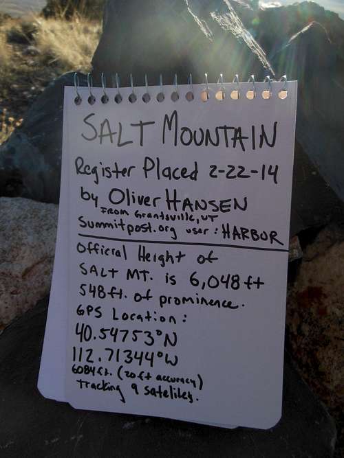
Register Notebook for Salt Mountain
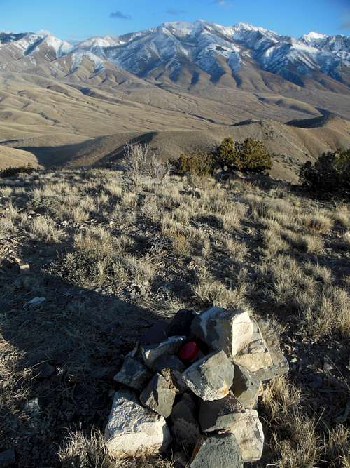
Newly built cairn and register placed. Snow- covered Stansbury Mountains in background. Deseret Peak is in the top right corner.
Random Info and more pics
Iosepa CemeteryIosepa was an early pioneer town that was settled by Polynesian Mormons. It was inhabited from the mid 1800's until the early 1900's. It was abandoned when most of the settlers returned to Hawaii after a Mormon temple was constructed in Laie Hawaii. There is celebration put on by the Iosepa Historical Society every Memorial Day.
A few sites with info about Iosepa:
http://en.wikipedia.org/wiki/Iosepa,_Utah
http://www.utahstories.com/2011/08/iosepa-mystery-utahs-hawaiian-pioneer-town/
http://www.utahstories.com/2011/08/iosepa-mystery-utahs-hawaiian-pioneer-town/
Iosepa Cemetery
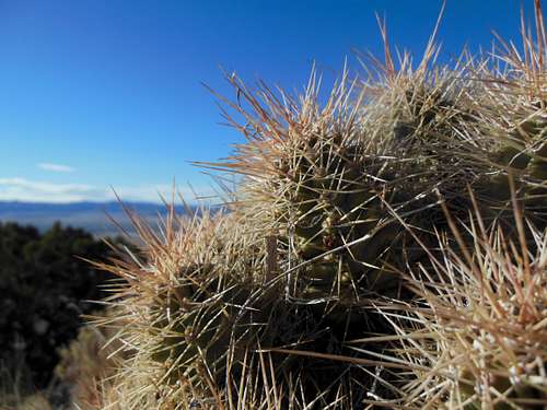
Cactus on the ridge
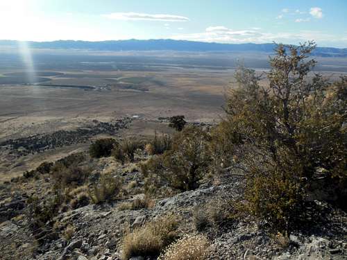
Looking down the West ridge line towards Iosepa. Cedar Mountains in the background.
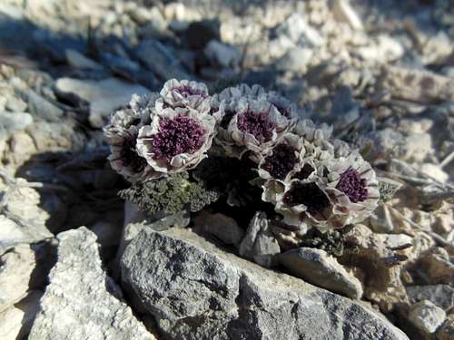
Cymopterus purpurascens - blooming in February!
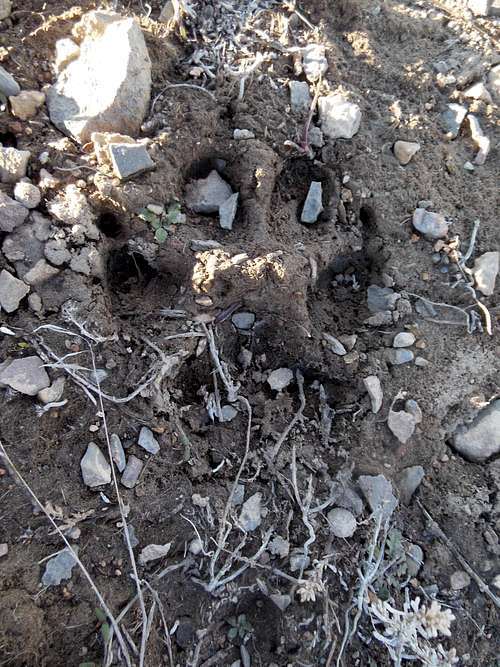
Tracks found near the top
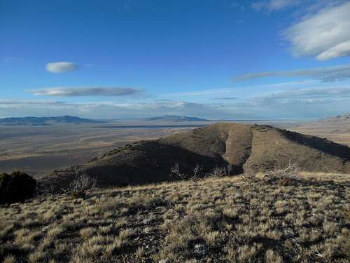
Looking north to the "Salt Mountain North" peak
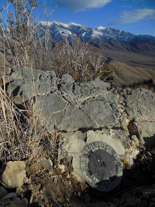
A very interesting NGS Marker. It had to be placed horizontally into the only rock near the peak. Deseret Peak is the far right snow-covered peak in the background.