
|
|
Route |
|---|---|
|
|
34.00965°N / 116.30585°W |
|
|
California Riding & Hiking Trail
California Riding and Hiking Trail (CRHT) is a 37.5 mile long trail that starts at the northern entrance of Joshua Tree National Park near twenty Nine Palms. It heads south for 7 miles then turns west/northwest to end at the northwestern border of the park in Black Rock Campground. To create Summitpost pages and reasonable day hikes, I have arbitrarily broken CRHT into several sections with approximate millage as below (the linked pages below may include descriptions of other nearby trails as well):
1) Northern Entrance to Pinto Wye, 4.5 miles
2) Pinto Wye to Juniper Flats, 13.7 miles
3) Juniper Flats to junction of Stubbe Springs Trail, 3.7 miles
4) Junction of Stubbe Springs Trail to Eureka Peak Trail, 10.1 miles
5) Eureka Peak Trail to Black Rock Campground, 5.5 miles
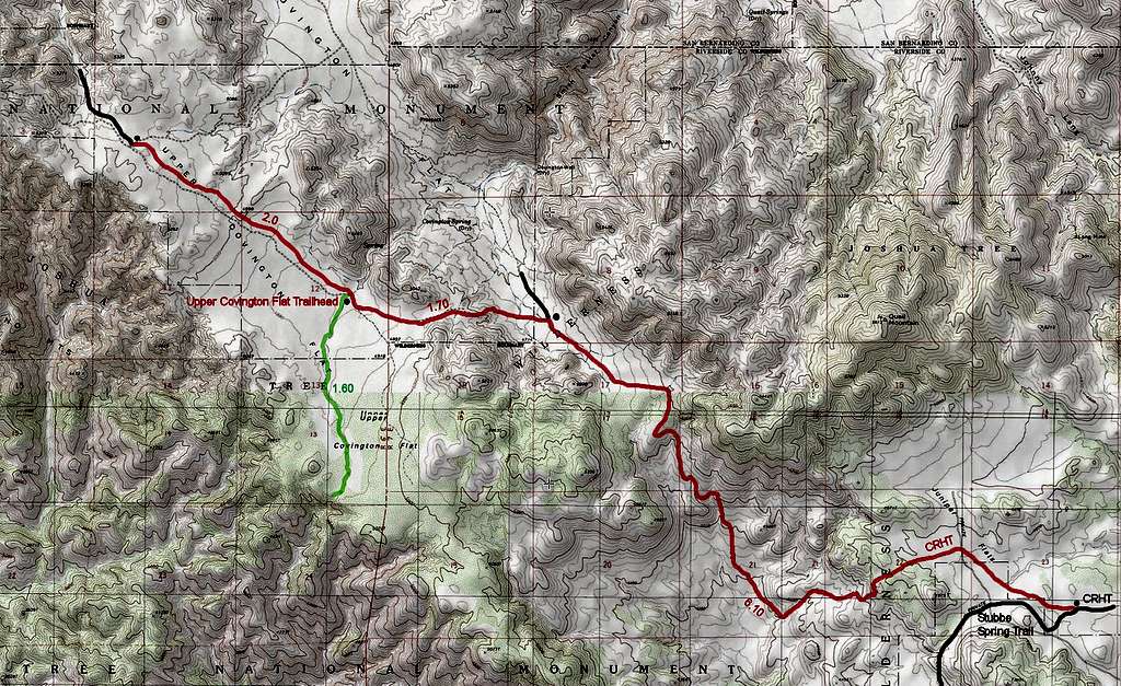
CRHT, Junction of Stubbe Springs Trail to Eureka Peak Trail
The most prominent feature of CRHT between the junction with Stubbe Spring Trail and Upper Covington Flat Trailhead is an 870 ft descent down a valley followed by an immediate ascent back out of the valley.
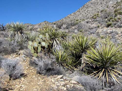
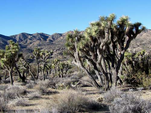
The 2.3 mile section of CRHT between Upper Covington Flat trailhead and Eureka Peak Trail parallels Covington Flat Road close to it and will not be discussed here. The view is the same as what you get when you drive the road. I should however mention that some of the biggest Joshua Trees in the park will be found in this area.
Getting There
From the junction of Route 62 and La Contenta Road in the eastern parts of the town of Yucca Valley, CA, turn south onto La Contenta and drive 4 miles south. After 2 miles, pavement ends. You will then see the sign for Covington Flat Road. Turn left (east) onto this dirt road and drive 10 miles to the end of it at Upper Covington Flat Trailhead (at the first two road splits turn right and at the third one left). Many sources recommend four wheel drive. I drove this road in an all wheel drive vehicle but found the surface of the road well graded. On the day that I did the drive, my guess is that a passenger car would have made it. Under wet or other adverse conditions, four wheel drive may be needed.
Route Description
This is a description of CRHT from Covington Flat Trailhead to the junction with Stubbe Spring Trail. It makes a 15.6 mile roundtrip day hike. Highest elevation is 5020 ft and lowest elevation is 4150 ft. See map below for details.
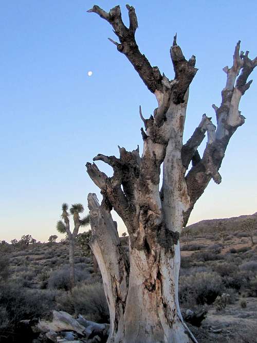
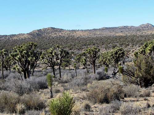
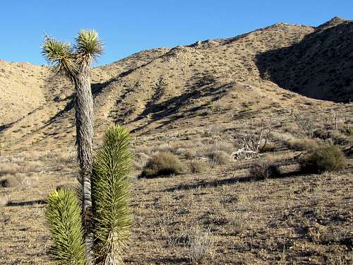
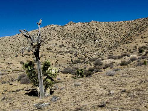
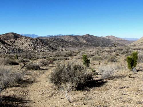
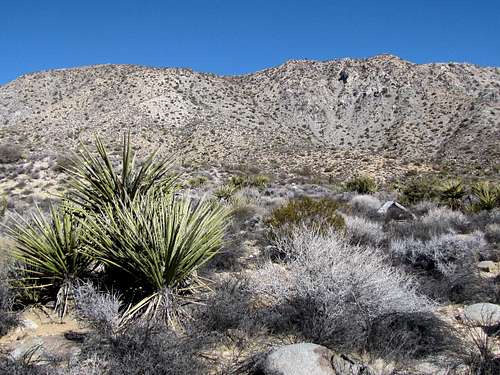
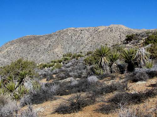
At Covington Flat Trailhead, get on California Riding and Hiking Trail heading east. You will find yourself on a plain with big Joshua Trees.
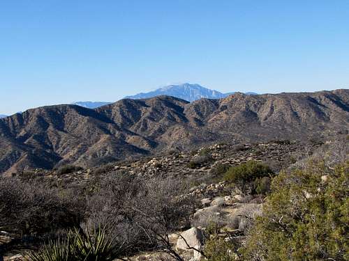
 Mt. San Gorgonio Mt. San Gorgonio |
 |
You will then reach the top of a slope where a big valley can be seen 200 ft below. Follow the trail down the slope to the bottom of the valley.
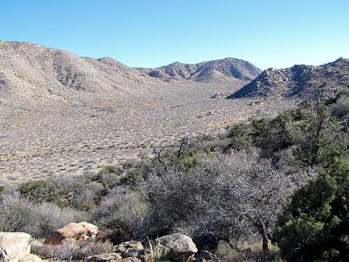
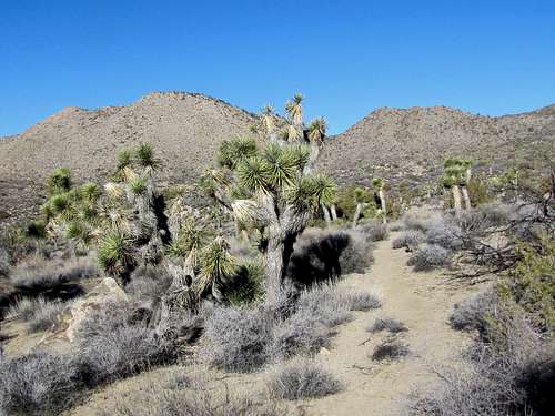
After 1.7 miles you will reach a signed trail junction. Turn right and continue on CRHT up the valley.
 |
 Mt. San Gorgonio Mt. San Gorgonio |
 |
 Mt. San Gorgonio Mt. San Gorgonio |
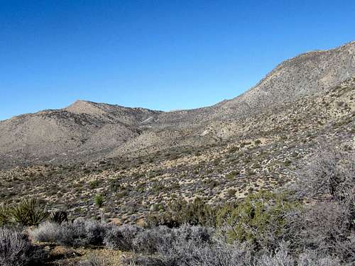
Once you reach the top of the valley, you will see a big drop in front of you to the southeast. The trail will go down this slope.
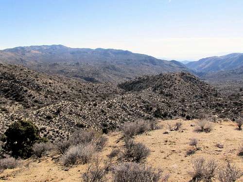 The big drop
Follow the trail 870 vertical feet down the slope.
 |
 |
 |
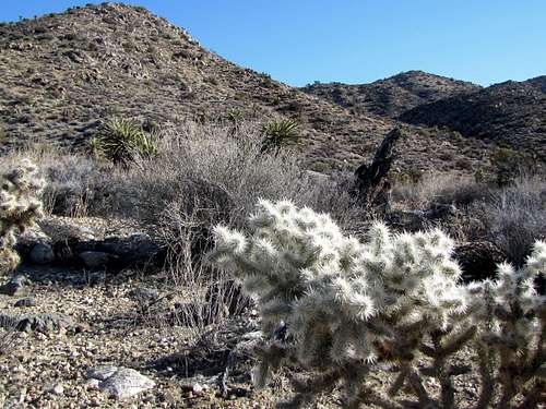 |
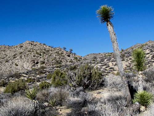
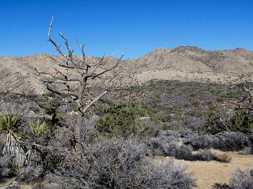
At the lowest part of the trail Joshua Trees appear.
 |
 |
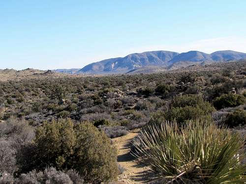
The trail then begins a 700 ft climb up the slope.
 |
 |
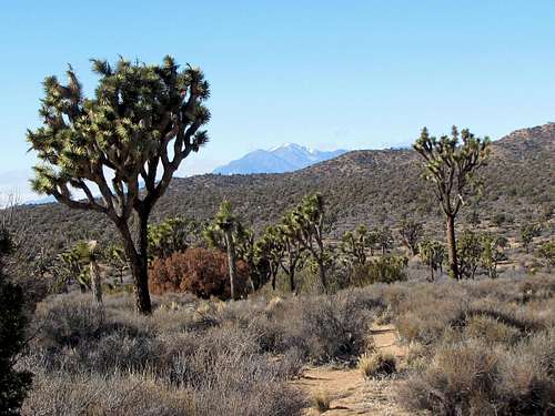
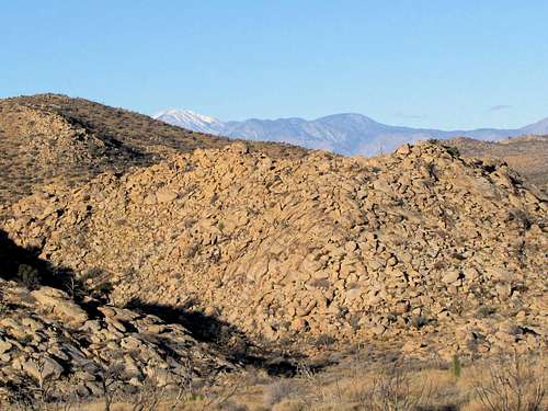
At the top of the slopes, you will reach a plateau with views of Mt. San Jacinto, Quail Mountain and Ryan Mountain. Continuing more than a mile will get you to the junction with Stubbe Spring Trail.
 Quail Mountain Quail Mountain |
 Ryan Mountain Ryan Mountain |
 Mt. San Jacinto
When to Hike
Summer can be dangerously hot. Spring, fall and winter are usually appropriate.