|
|
Canyon |
|---|---|
|
|
34.78470°N / 111.7325°W |
|
|
Hiking |
|
|
Spring, Summer, Fall, Winter |
|
|
Overview
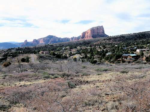
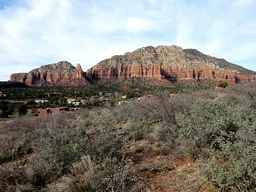
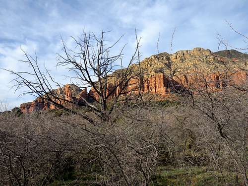
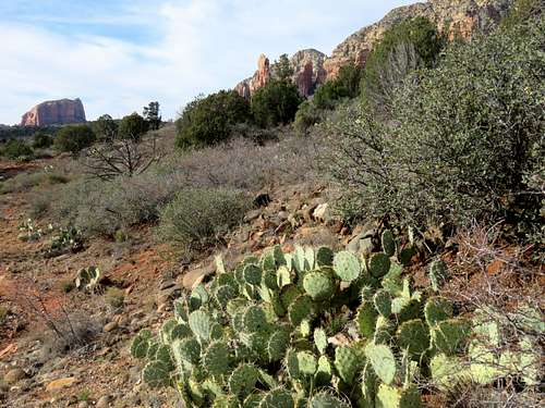
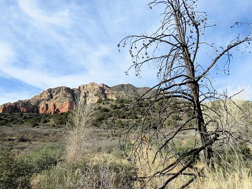
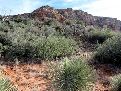
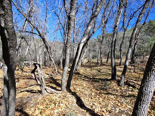
Jacks Canyon is a wide canyon that sits behind (to the east of) Munds Mountain and Lee Mountain near Sedona, Arizona. A trail starts to the southeast of Sedona and goes up to a saddle at the base of the summit of Minds Mountain. The lower parts of the canyon give you typical red rock scenery while the upper parts are forested with no red rock views.
I went through Jacks Canyon as a 14.3 mile one way hike up Schnebly Hill Trail to the top of Munds Mountain and then down Jacks Canyon as shown on the map below.
Getting There
Directions to Hot Loop (Jacks Canyon) Trailhead:
From the intersections of Route 179 and Jacks Canyon Road in the Village of Oak Creek just south of Sedona, drive 2 miles east on Jacks Canyon Road and turn right (south) onto a relatively rough 500 ft long dirt road to reach the trailhead. Jacks Canyon Trail starts on the north side of the parking area.
Route Info
Trailhead Elevation=4270 ft
Elevation at Saddle at base of Munds Mountain=6340 ft
One Way Hiking Distance per my GPS=7.2 miles
The trail heads northeast and for the first 1.5 miles, it is not far from a residential area.
You will go up a hill and then down into the bottom of the wide canyon where the residential area ends.
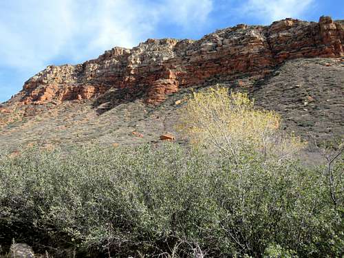
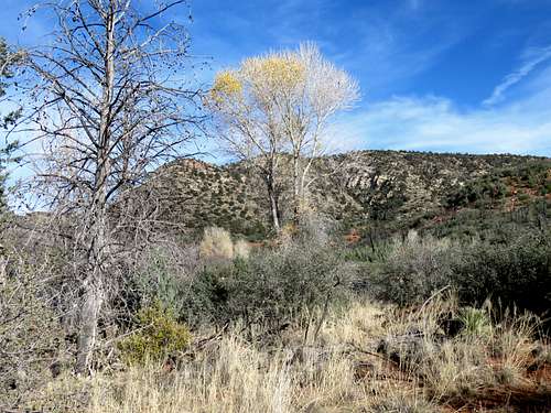
While still wide, the canyon narrows somewhat, a forest starts and you will no longer see any red rock. Lee Mountain is still visible to the west.
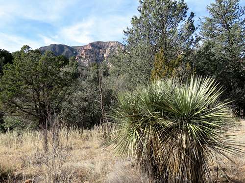
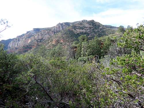
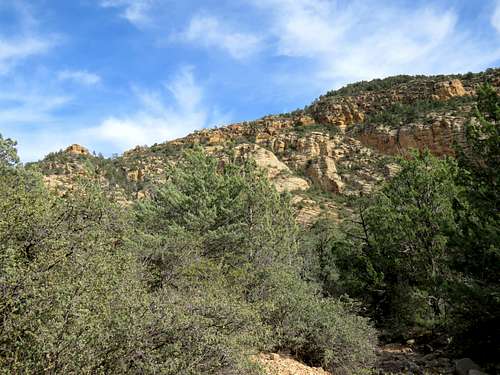
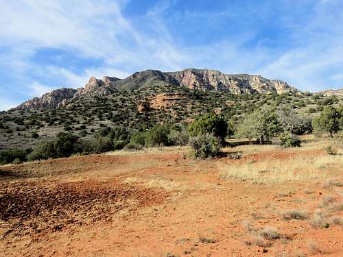
Farther up, the slopes of Munds Mountain appear.
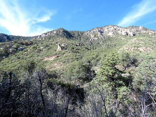
You will the reach the saddle at the base of the summit of Munds Mountain. You can go to the top of Munds Mountain, onto Schnebly Hill Road/Trail or back the way you came.
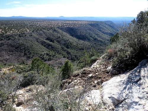
Jacks Canyon from the slopes of Munds Mountain.