
Comments
No comments posted yet.
|
|
Trip Report |
|---|---|
|
|
44.26600°N / 121.7485°W |
|
|
Sep 4, 2019 |
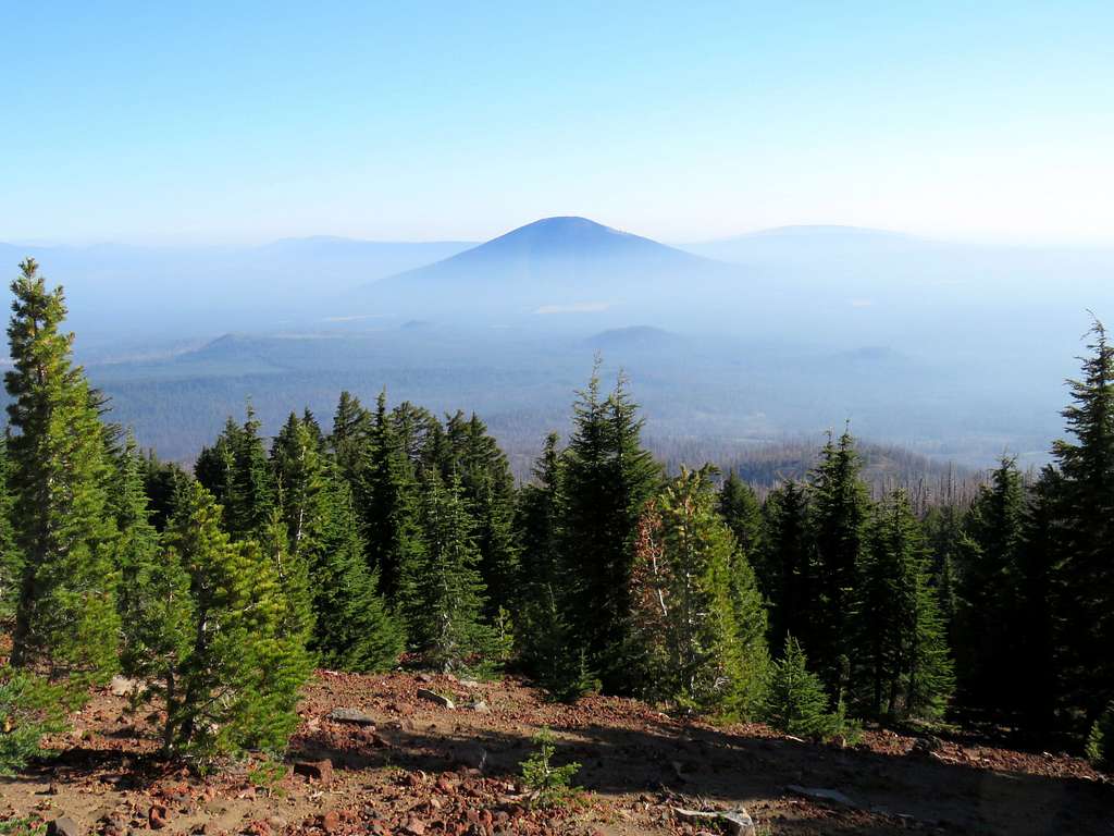
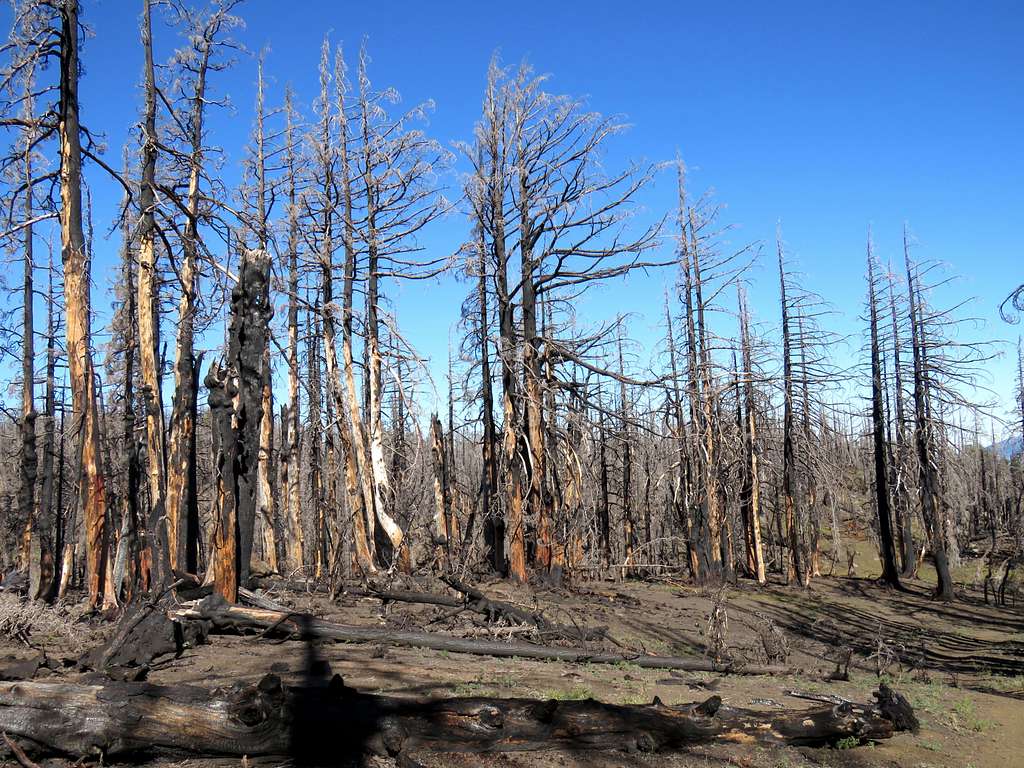
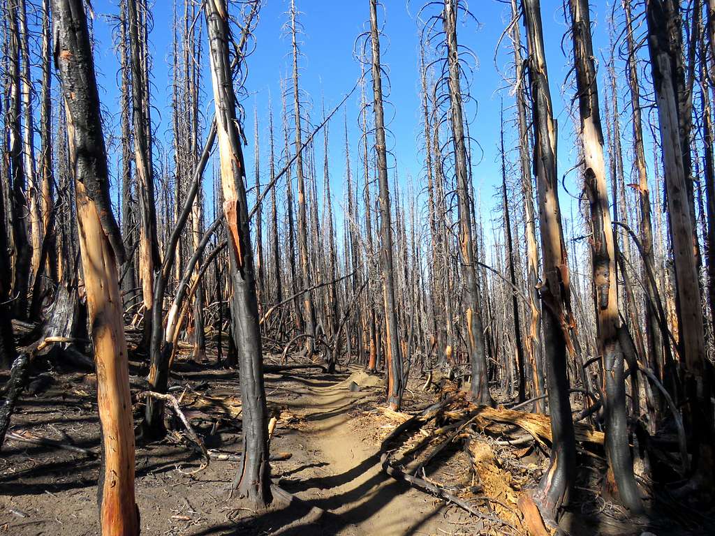
The 7251 ft high Black Crater is a cinder cone volcano that rises north of Three Sister near Bend, Oregon. A 3.6 mile long trail goes from Route 242 to the summit of Black Crater. Wildfires had devasted the area forests in 2017, two years before my hike.
Trailhead Elevation: 4910 ft
Summit Elevation: 7251 ft
Roundtrip Hiking Distance: 7.2 miles
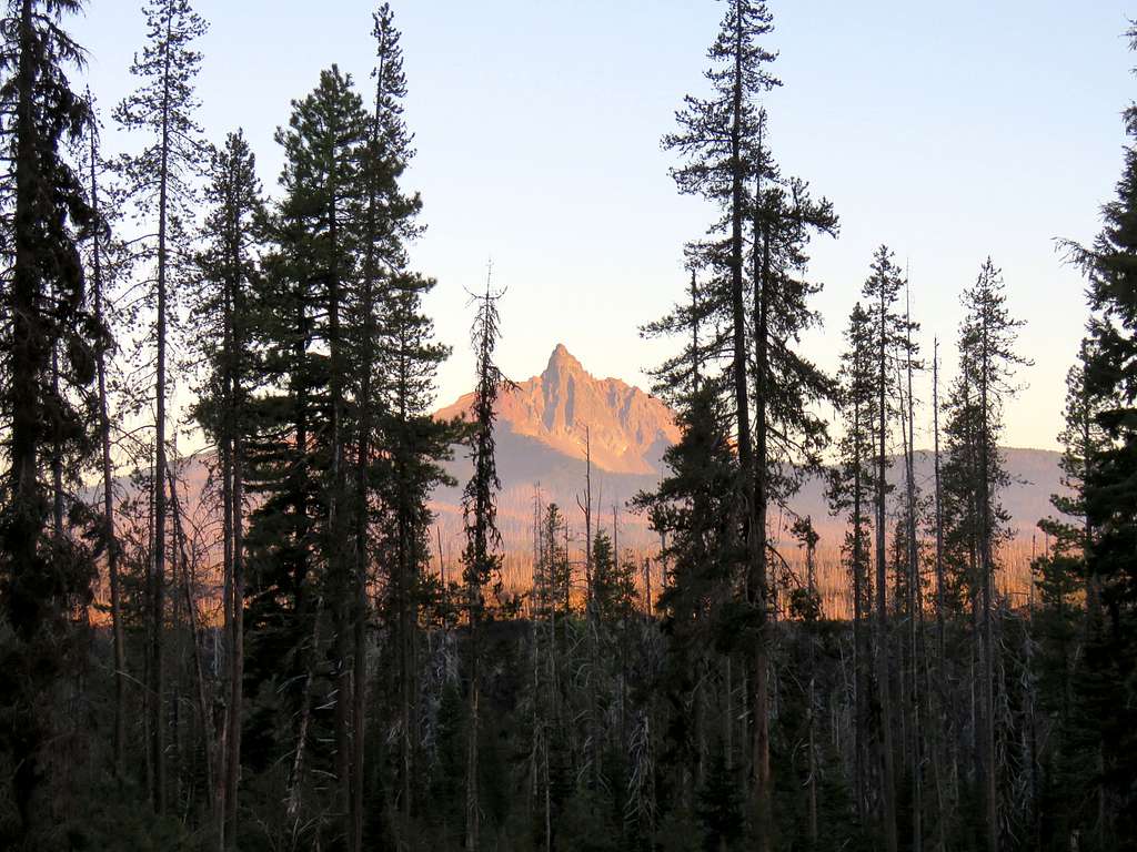
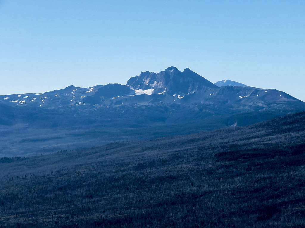
Kris and I started our hike at 6:55 a.m. from the trailhead on Route 242. We were in the shade at that hour and did not see any other hikers on our way up the mountain. The trail went into a burnt forest and began to climb. The jagged Mount Washington was glowing in the glare of the rising sun to the northwest.
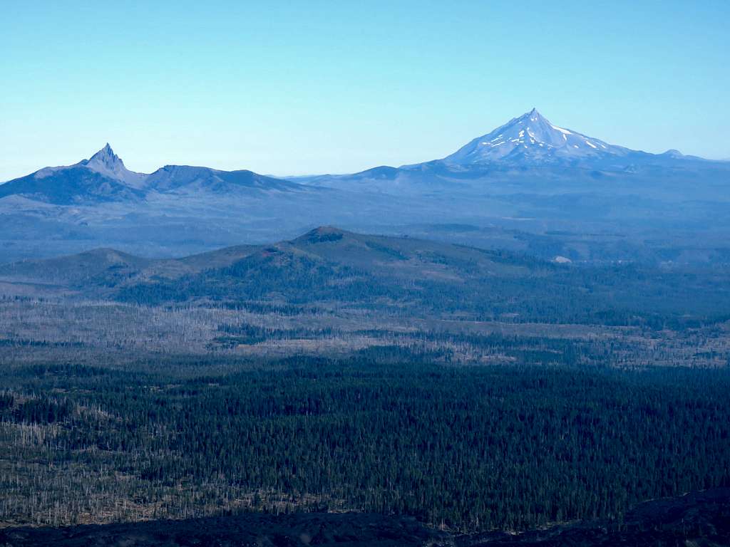
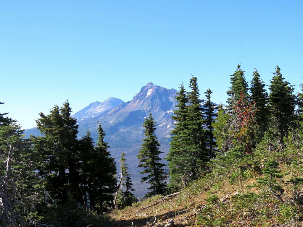
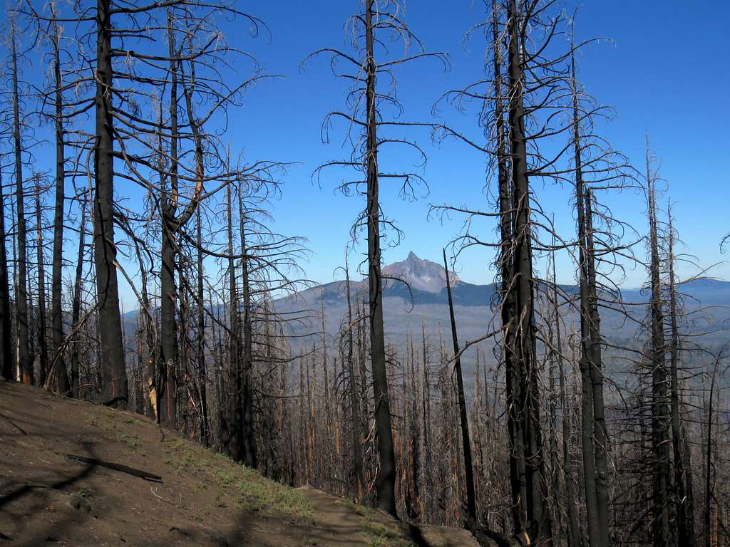
Three Fingered Jack and Mount Jefferson to the north.
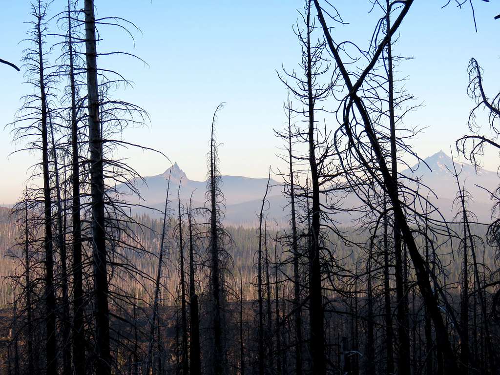
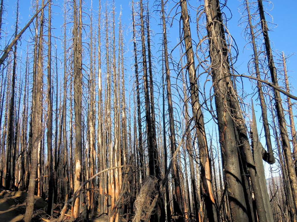
The rising sun brought much intensity to the black color of the burnt trees.
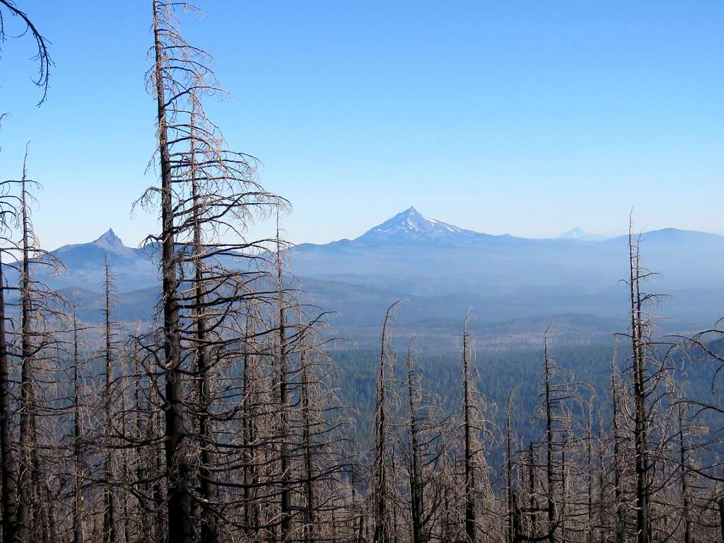
Mt. Hood appeared to the distant north.
The summit of Black Crater came to view at about 6200 ft elevation.
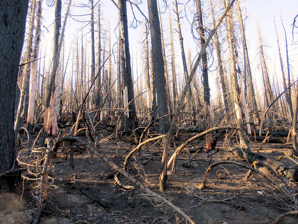
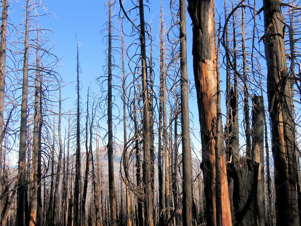
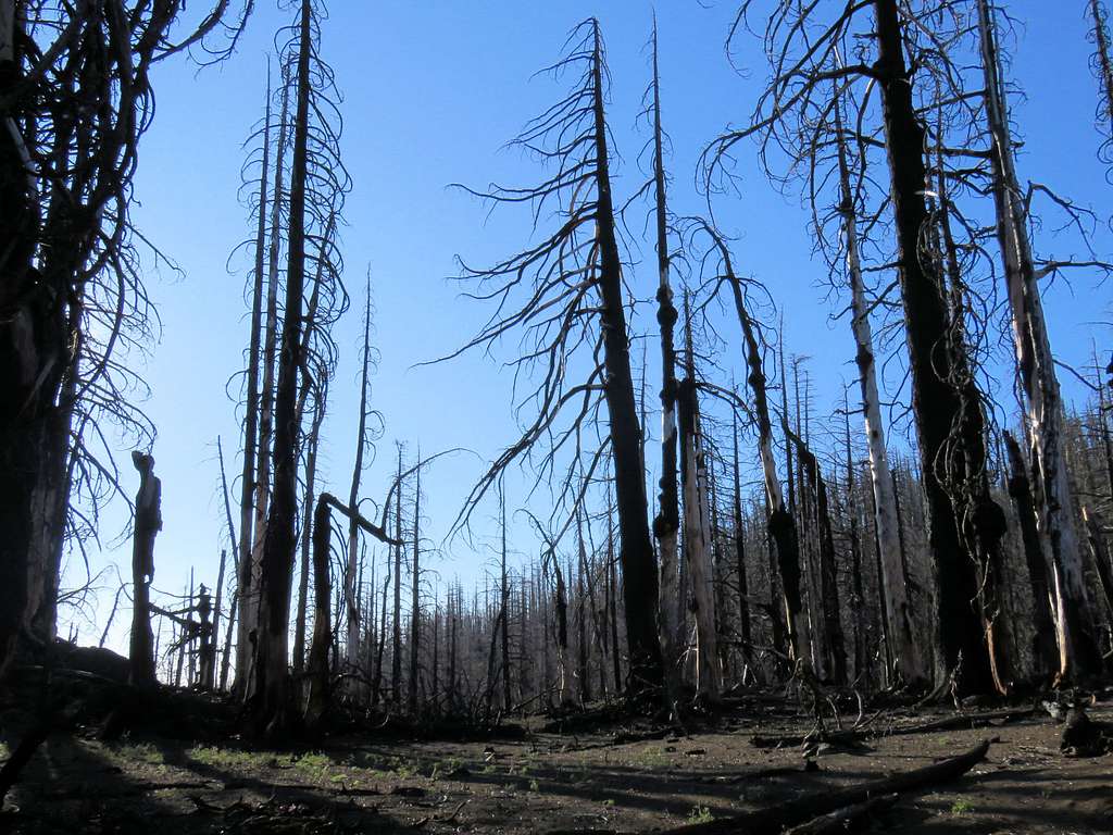
More burnt trees.
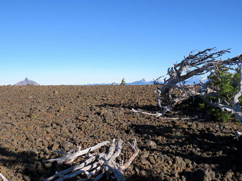
The burnt trees went away at 6400 ft elevation. Black Butte to the northeast.
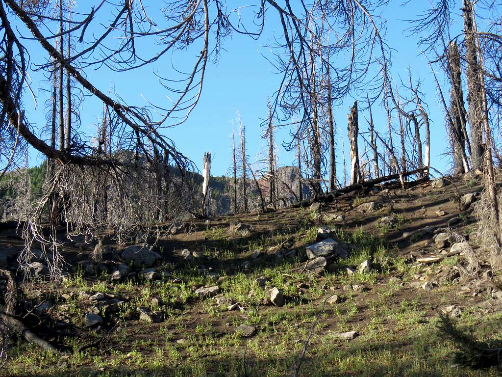
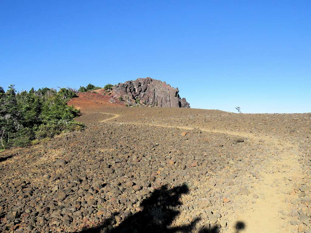
Just below the summit, we reached a gently sloped flat area covered by black rock.
Went up a rocky area to reach the summit at 9:00 a.m. Views from the summit:
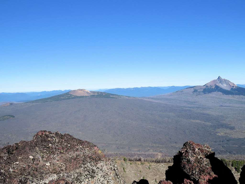
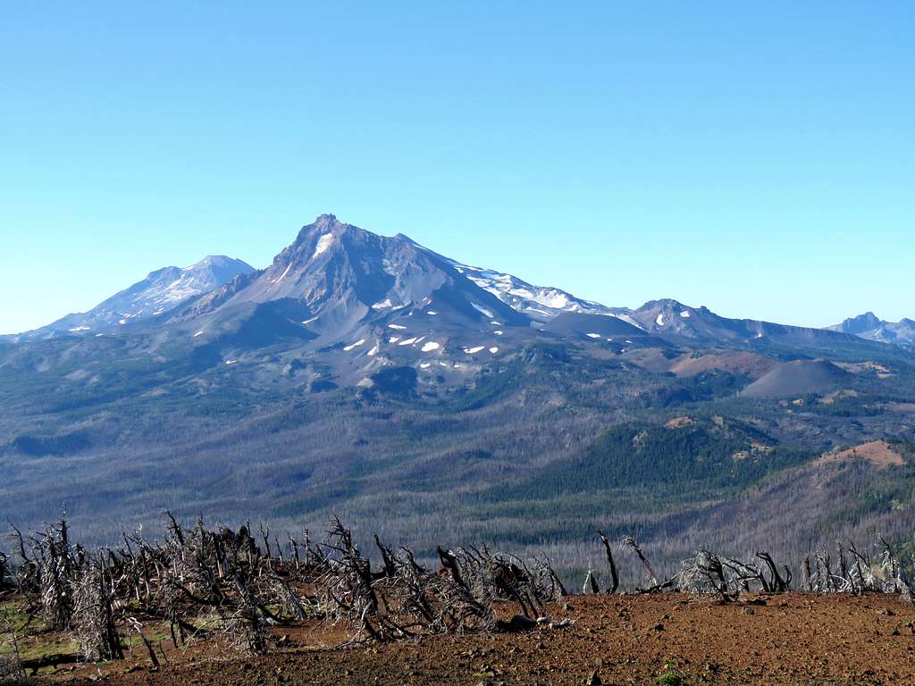
Mt. Washington and Belknap Crater.
Mt. Jefferson and Three Fingered Jack.
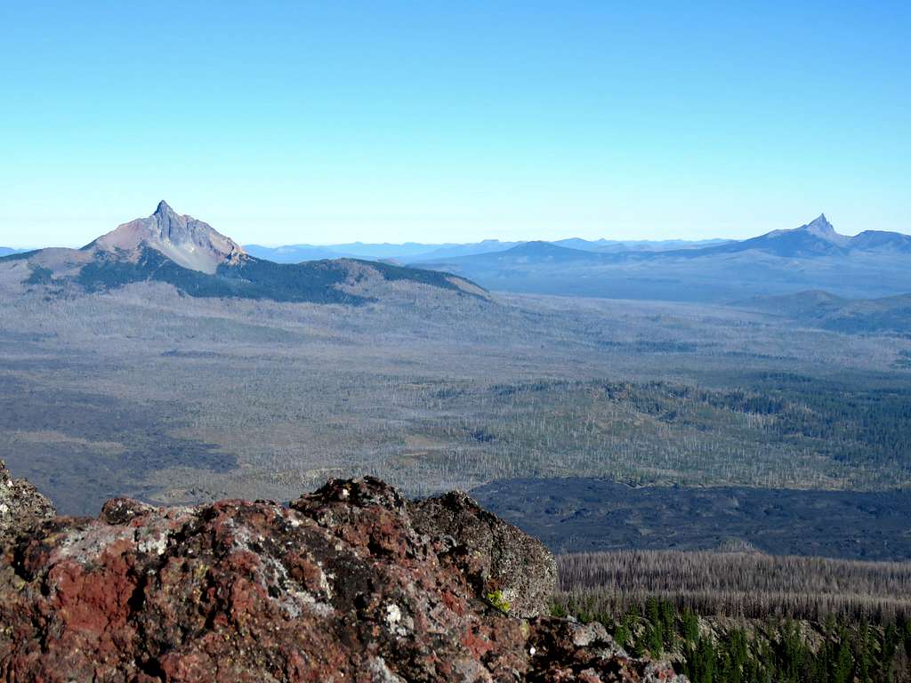
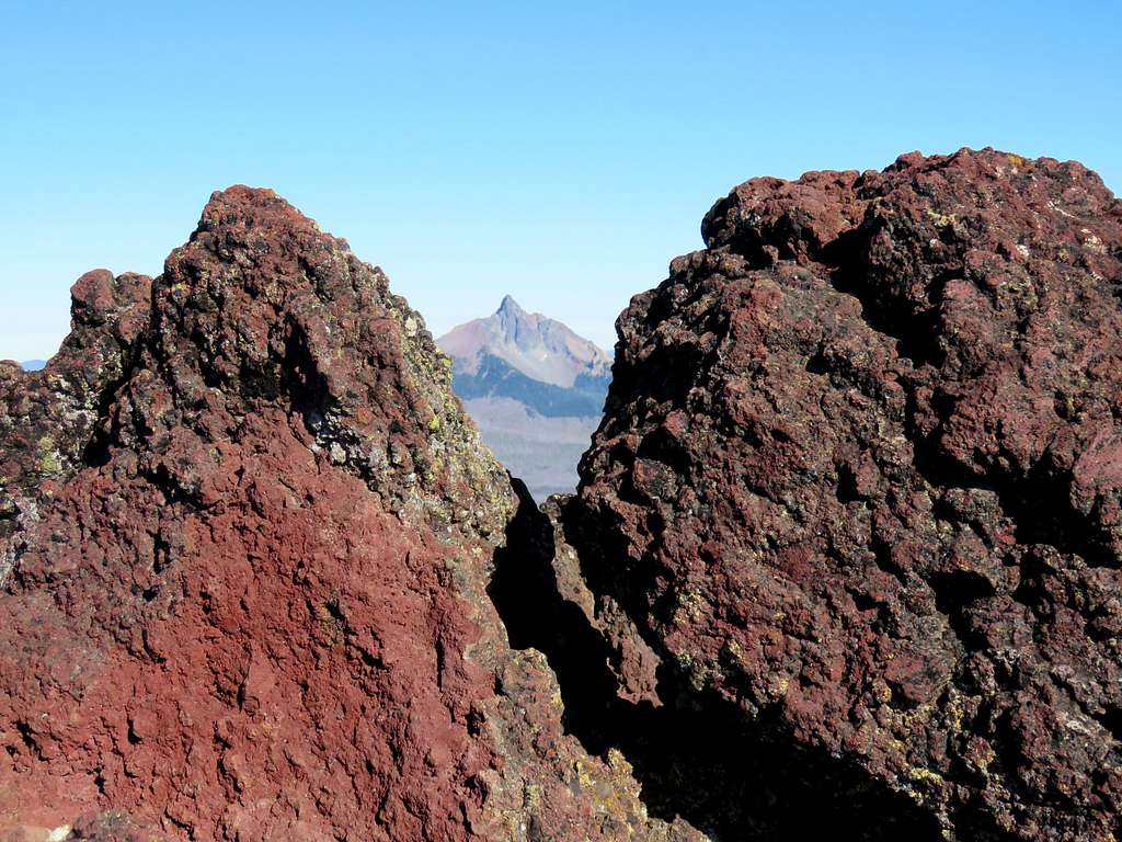
Mt. Washington and Three Fingered Jack.
South and North Sister.
Broken Top and the tip of Mt. Bachelor.
Mt. Washington and the rocks on top of Black Crater.
Left at 9:30 a.m. going back down the trail. Another view of the Sisters.
Saw only 2 other groups of people on our way down. More burnt trees.
Back to car at 11:10 a.m.