Toggle navigation
Mountains
Routes
Images
Trip Reports
Forum
What's New
People
Areas & Ranges
Articles
Trailheads
Canyons
Huts & Campgrounds
Albums
Logistical Centers
Fact Sheets
Lists
Custom Objects
Gear
Plans & Partners
WELCOME TO SUMMITPOST
SIGN IN
REGISTER
The Chattooga
View High-Resolution Image
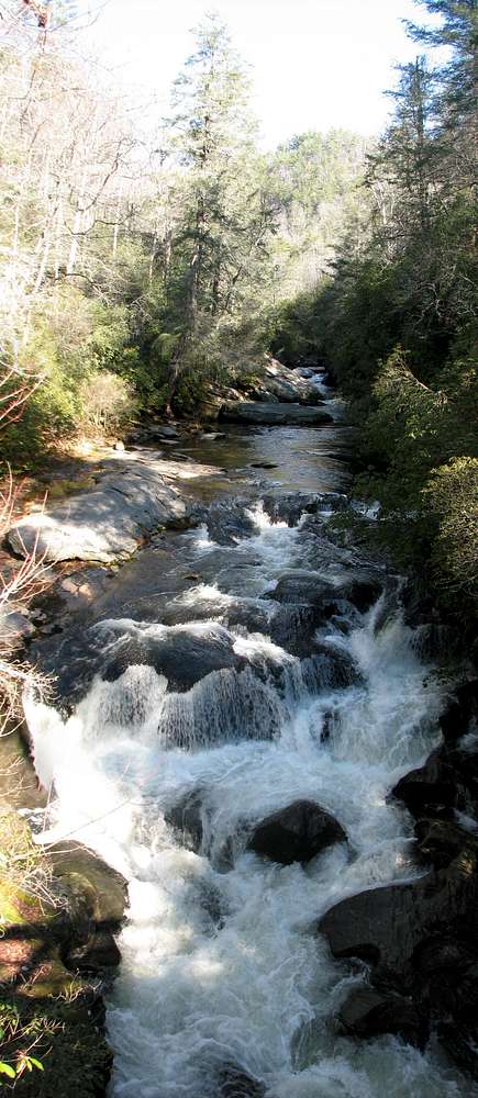
The Chattooga
The Chattooga River, where it flows under the Iron Bridge on Bull Pen Road.
« PREV
NEXT »
BobSmith
on
Mar 5, 2008 9:19 pm
Comments & voting
Other parents
Lat/Lon:
35.00700°N / 83.10881°W
Image Type(s):
Water
Image ID:
385984
1685 Hits
72.08
% Score
2
Votes
Log in to vote
Comments
No comments posted yet.
to post!
Don't have an account?
The Southern Appalachians
(Album)
You are at
the First
Image
Viewing
#1 of 1
GALLERY
You are at
the Last
Image
BobSmith's Image Gallery
« PREV
Viewing
#1642 of 2459
GALLERY
NEXT »
The Southern Appalachians
(Album)
Loading....
The Chattooga River Gorge (North Carolina section)
(Canyon)
Loading....
×
You need to login in order to vote!
User Name
Password
Remember me
Forgot your password?
Log me out when I close my browser.
Keep me logged in all the time.
sign in as a user
Don't have an account?
Register now for FREE
Rating available
Suggested routes for you
People who climb the same things as you
Comments Available
Create Albums
Register Here


