
-
 241 Hits
-
 77.48% Score
-
 8 Votes
|
|
Area/Range |
|---|---|
|
|
46.45739°N / 10.88405°E |
|
|
Hiking, Mountaineering, Scrambling, Skiing |
|
|
Spring, Summer, Fall |
|
|
Overview
Maddalene Group
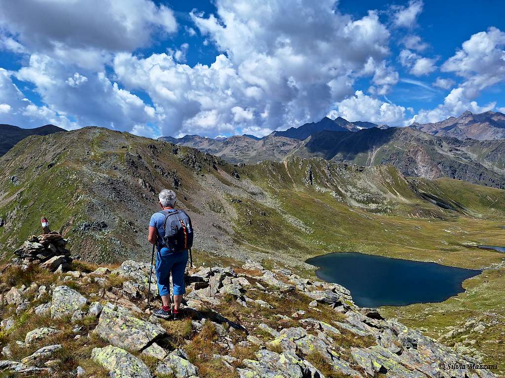
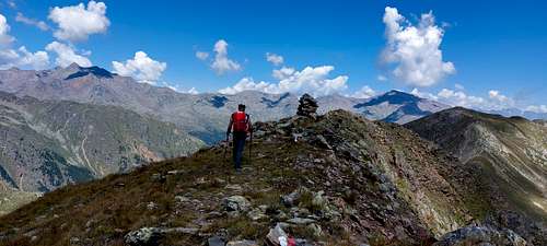
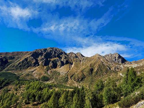
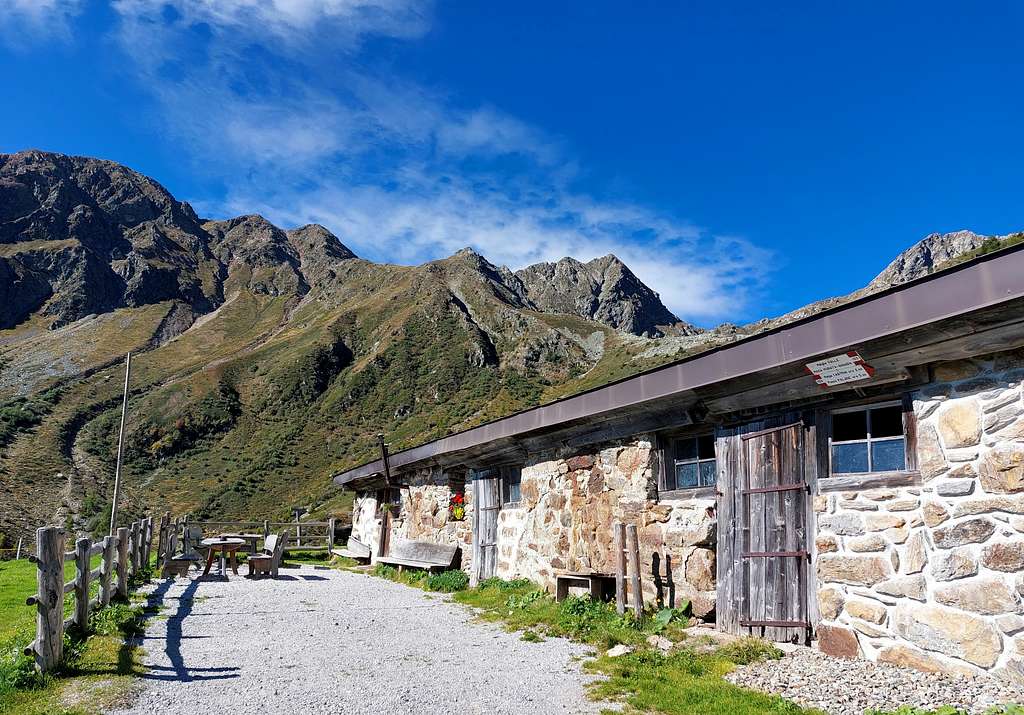
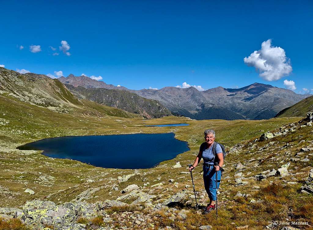
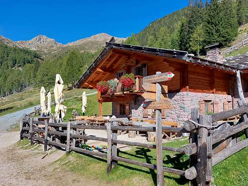
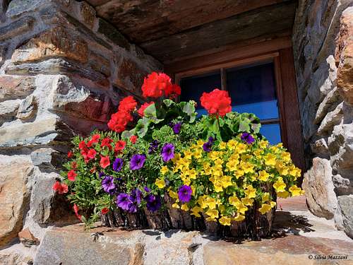
The Maddalene chain is a beautiful, untouched and not very well-known mountain group located in the south-eastern sector of the Rhaetian Alps and geographically belonging to the Ortles-Cevedale Group. Among the subgroups of the Ortles-Cevedale, the Maddalene group has the characteristic of not including very high mountain, in fact only two peaks exceed 2700 metres: Cima Tuatti 2701 m and Punta di Quaira 2752 m, the highest summit. For this reason the summits can all be reached with a only climbing day and this is also the reason for the shortage of alpine huts in this area. However, there are numerous mountain alms that offer hospitality. Located between Trentino and South Tyrol (Bolzano Alto Adige), the area doesn't include glaciers or large rock faces, the profiles of the mountains are not particularly sharp and the terrain is not steep, therefore the group is mainly suitable for the practice of hiking and of ski mountaineering, also offering a nature that is still largely intact and wild.
The borders of the Maddalene are as follows: to the North the Val d'Ultimo (Bolzano Alto Adige), to the East the Passo Palade and to the West the Passo di Rabbi. Towards the South the natural border is formed by the Val di Non and the Val di Sole valleys. The Maddalene group is located about 10 km from Cles, the main town of the Val di Non and the main affected administrative province is Trento. As told in the northern sector the territory descends towards the southern Tyrolean Val d'Ultimo, while towards Suda it slopes towards the Trentino Valle di Non, constituting an area of great interest. The municipalities affected are Proves, Lauregno and Senale San Felice (German-speaking) and the nonesi Rumo and Bresimo.
La catena delle Maddalene è un bellissimo gruppo montuoso incontaminato e poco conosciuto situato nel settore sud-orientale delle Alpi Retiche e geograficamente appartenente al Gruppo Ortles-Cevedale. Tra i sottogruppi dell'Ortles-Cevedale, il gruppo delle Maddalene ha la caratteristica di non presentare montagne molto elevate, infatti solo due cime superano i 2700 metri: Cima Tuatti 2701 m e Punta di Quaira 2752 m, la vetta più alta. Per questo motivo le cime sono tutte raggiungibili con una sola giornata di arrampicata ed è anche il motivo della scarsità di rifugi in questa zona. Numerose sono però le malghe di montagna che offrono ospitalità. Situata tra il Trentino e l'Alto Adige (Bolzano Alto Adige), l'area non comprende ghiacciai o grandi pareti rocciose, i profili delle montagne non sono particolarmente scoscesi e il terreno non è ripido, quindi il gruppo è adatto principalmente alla pratica dell'escursionismo e dello sci alpinismo, offrendo anche una natura ancora in gran parte intatta e selvaggia.
I confini delle Maddalene sono i seguenti: a Nord la Val d'Ultimo (Bolzano Alto Adige), ad Est il Passo Palade e ad Ovest il Passo di Rabbi. Verso Sud il confine naturale è formato dalla Val di Non e dalla Val di Sole. Il gruppo delle Maddalene si trova a circa 10 km da Cles, capoluogo della Val di Non e la principale provincia amministrativa interessata è Trento. Come detto nel settore settentrionale il territorio discende verso la sud tirolese Val d'Ultimo, mentre verso Sud digrada verso la Val di Non trentina, costituendo un'area di grande interesse. I comuni interessati sono Proves, Lauregno e Senale San Felice (di lingua tedesca) e i nonesi Rumo e Bresimo.
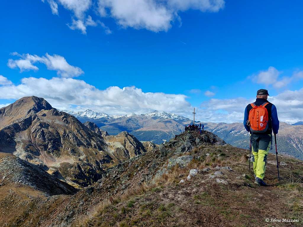
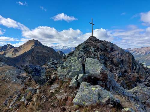
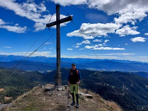
Main summits
Main summits (in order of height):
- Punta di Quaira (Karspitze) - 2752 m
- Cima Tuatti (Nebelspitze) - 2701 m
- Cima Stubele (Stübele) - 2668 m
- Cima Olmi (Ilmenspitze) - 2656 m
- Cima Binasia (Schrummspitze) - 2645 m
- Cima Trenta (Walscher Berg) - 2636 m
- Vedetta Alta (Ultner Hochwart) - 2627 m
- Castel Pagan - 2608 m
- Monte Luco (Laugenspitze) - 2434 m
- Monte Cornicoletto (Kleiner Kornigl) - 2418 m
- Cima Lavazzè (Seespitze) - 2417 m
- Monte Ometto (Mandlspitz) - 2395 m
- Monte Spiel - 2317 m
- Monte Cornicolo (Kornigl) - 2311 m
- Piccolo Luco - 2297 m
Getting There
The Maddalene group can be reached from Bolzano Alto Adige via the Palade Pass and the Castrin Pass or from the Val di Non.
Il gruppo delle Maddalene può essere raggiunto dall'Alto Adige attraverso il Passo Palade e il Passo Castrin oppure dalla Val di Non.
The "Aldo Bonacossa" path
The Aldo Bonacossa Path, marked with the number 133, is a historic SAT path starting from Passo Palade in the province of Bolzano and crosses the entire Maddalene mountain range until arriving in Val di Rabbi. It passes through wild and little-frequented environments and the support points are the mountain alms. It is quite long (it takes 4 days to complete the itinerary) - but well signposted and has no particular technical difficulties.
Il Sentiero Aldo Bonacossa, segnalato con il numero 133, è uno storico sentiero SAT che parte dal Passo Palade in provincia di Bolzano e attraversa tutto il gruppo montuoso delle Maddalene fino ad arrivare in Val di Rabbi. Si attraversano ambienti selvaggi e poco frequentati ed i punti di appoggio sono le malghe di montagna. È abbastanza lungo (occorrono 4 giorni per completare l'itinerario) ma ben segnalato e non presenta particolari difficoltà tecniche.
Red Tape
No fees and no permits required
Nessuna tassa e nessun permesso richiesto.
Where to stay
This area is a touristic destination, offering agriturismo, bed and breakfast, hotels, mountain huts, renting rooms and apartments.
Questa zona è una meta turistica, offre agriturismi, bed and breakfast, hotels, rifugi, affittacamere e appartamenti..
When to climb
Hiking: the best period goes from May to October
Ski mountaineering and snowshoes: from January to April
Trekking: il periodo migliore va da maggio a ottobre
Sci alpinismo e ciaspole: da gennaio ad aprile
Meteo
- Meteotrentino
- Meteo Bolzano Alto Adige
Guidebooks and maps
- Val di Non 4land Scala 1:25.000 2020 ISBN 978-8-88982-390-3
- Kompass n. 53
- Tabacco n. 42